
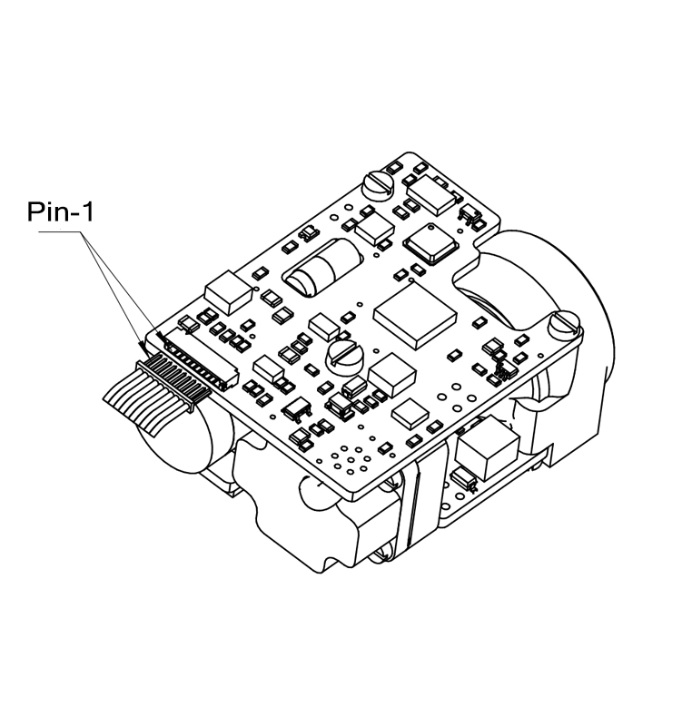
Pin serial number | Item number | Electrical characteristics | Signal direction |
P-1 | VIN+ | Input power positive pole | Power Source |
P-2 | VIN+ | ||
P-3 | COM | Input power negative pole | |
P-4 | COM | ||
P-5 | TTL_RXD | Signal input port | From host computer to laser rangefinder module |
P-6 | TTL_TXD | Signal output port | From laser rangefinder module to host computer |
P-7 | DGND | Digital ground | Download program to use |
P-8 | DGND | ||
P-9 | SWDIO | Data port | |
P-10 | SWCLK | Clock port |
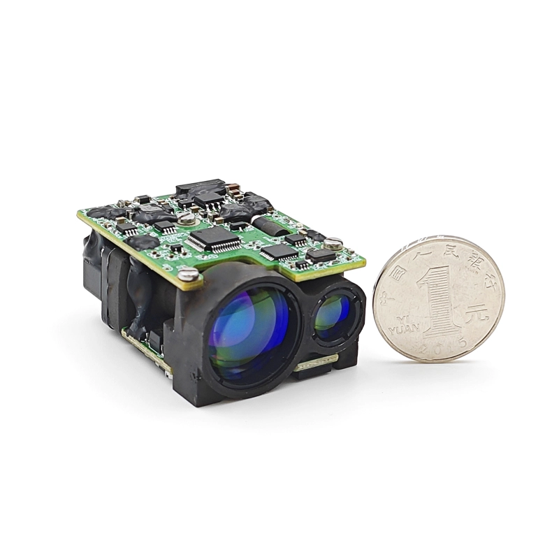
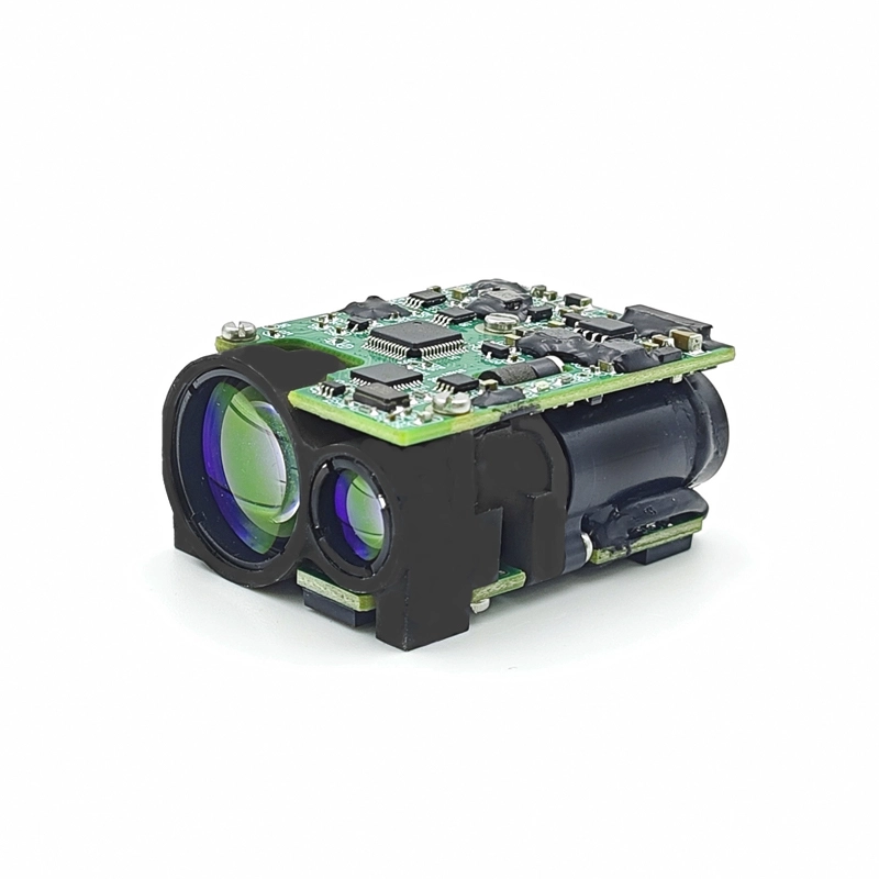
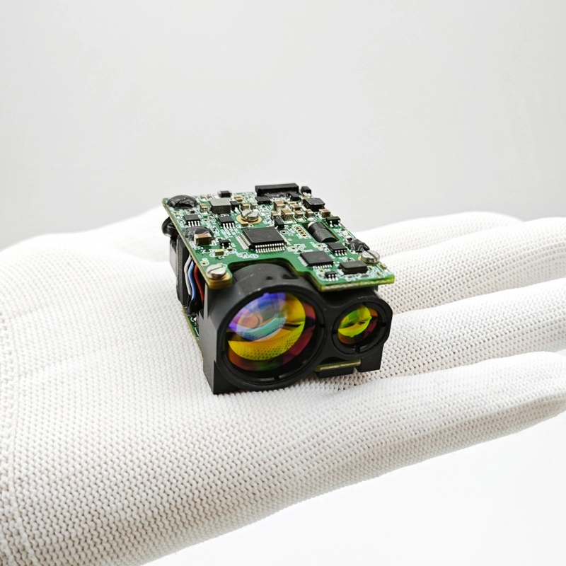
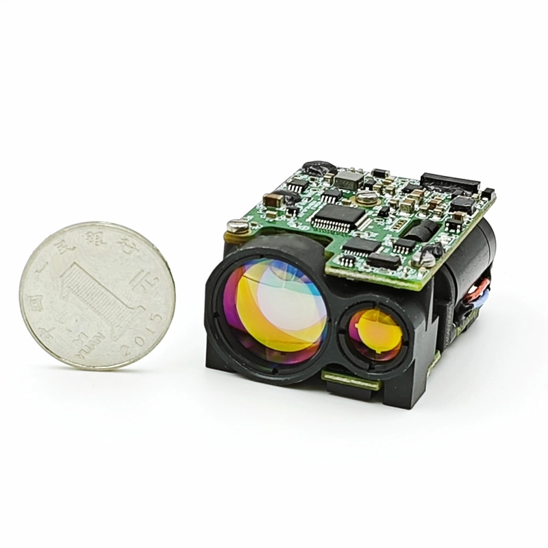
For those seeking a reliable OEM Laser Rangefinder Module supplier, Eyoung's laser ranging devices offer unparalleled performance and versatility across various applications.
Items | Index | |
Laser wavelength | 1535nm | |
Maximum range (m) | Large target | 5500 |
Vehicle(2.3m×4.6m) | 3000 | |
Human(0.5m×1.7m) | 2200 | |
Minimum range (m) | 15 | |
Precision (m) | ±1 | |
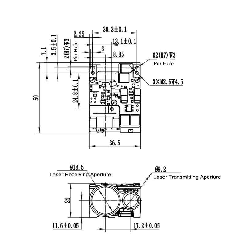
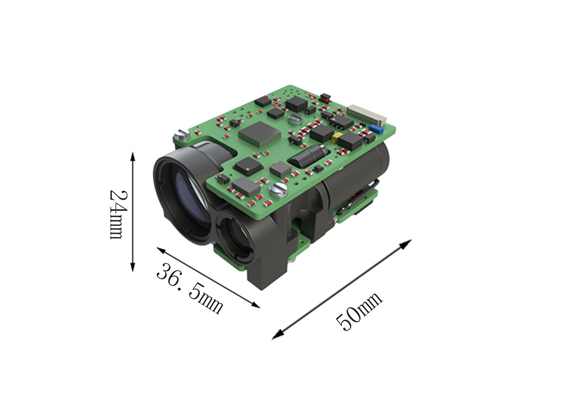
Size (L×W×H) (mm) | ≤50×36.5×24 | |
Weight (g) | ≤58 | |
Ranging frequency (Hz) | Single time, 1, 5 | |
Accuracy rate | ≥98% | |
False alarm rate | ≤1% | |
Multiple target detection (pc) | 2 | |
Communication port | RS422/TTL | |
Supply voltage(V) | 10~14 | |
Standby power consumption(W) | ≤0.5, power off to achieve zero stand-by power consumption | |
Operating temperature | -40~+60℃ | |
Impressive range capability of 3000 meters to vehicles
Developed based on 1535nm eye-safe wave band laser
Energy-efficient and low power consumption
Optional serial port and optical lens colour
Highly stable laser beam for mid-long distance measurement
High durability and shock resistance in harsh working environment
Lightweight design and low power consumption enable reliable and long term use of eye-safe 1535 laser rangefinder modules in handheld devices such as hunting rifle sight & scope, thermal imaging LRF optical scope.
In industrial settings, small size 1535 laser rangefinder modules are utilized in areas such as construction, mining, and logistics to estimate dimensions, calculate stockpile volumes, and ensure precision in positioning heavy machinery.
The 1535 laser range finder modules can be integrated into the gimbal camera systems of small unmanned vehicles and aircraft platform, to enhance the high-precision altitude measurements, obstacle detection, and terrain mapping capabilities.


