In recent years, with the rapid development of science and technology, laser ranging technology has become the most accurate means of space target orbit determination, which is conducive to the realization of high precision measurement and monitoring of space targets. In order to monitor the status of transmission lines in real time and efficiently in the power industry, laser ranging technology has gradually become a widely used method for accurate location and ranging of transmission line faults.

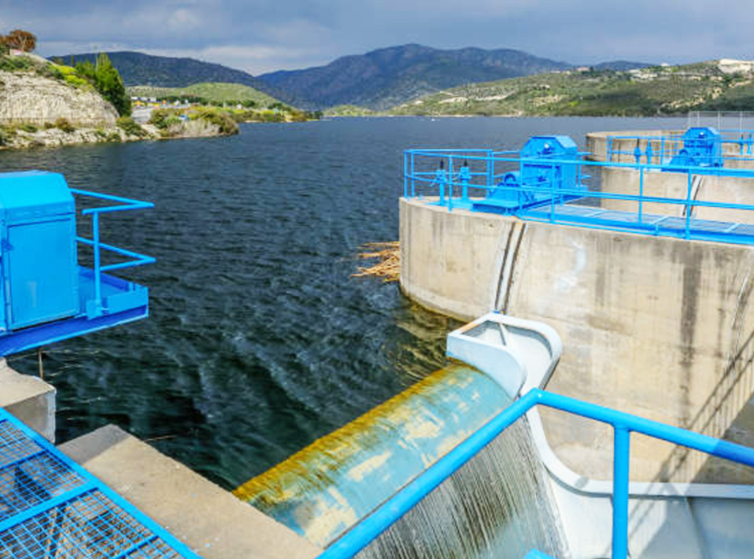
In water conservancy, flood control project is an important measure to ensure the safety of people's life and property, and mapping technology can help to determine the layout and scale of flood control project. By measuring and analyzing the terrain, water level and other elements of the flood affected area, the appropriate height of the dike and the position of the floodway can be determined. For example, using the range finder to measure the horizontal distance at two points, the slope percentage of the dam can be obtained to ensure the effectiveness and safety of the flood control project. In addition, the laser rangefinder can also be used to remotely monitor the running state of flood control projects, and find and solve existing problems in time to improve the management level of flood control projects.
In forest management, the rational use and planning of forest land is very important for the protection and sustainable use of forest resources. In the process of forest land use planning, forestry mapping technology by using laser rangefinder can help forestry departments in forest land planning and resource management. Through the measurement and analysis of forest land, we can rationally plan the planting density and layout of trees, improve the yield and quality of wood, and maximize the protection and utilization of forest resources.

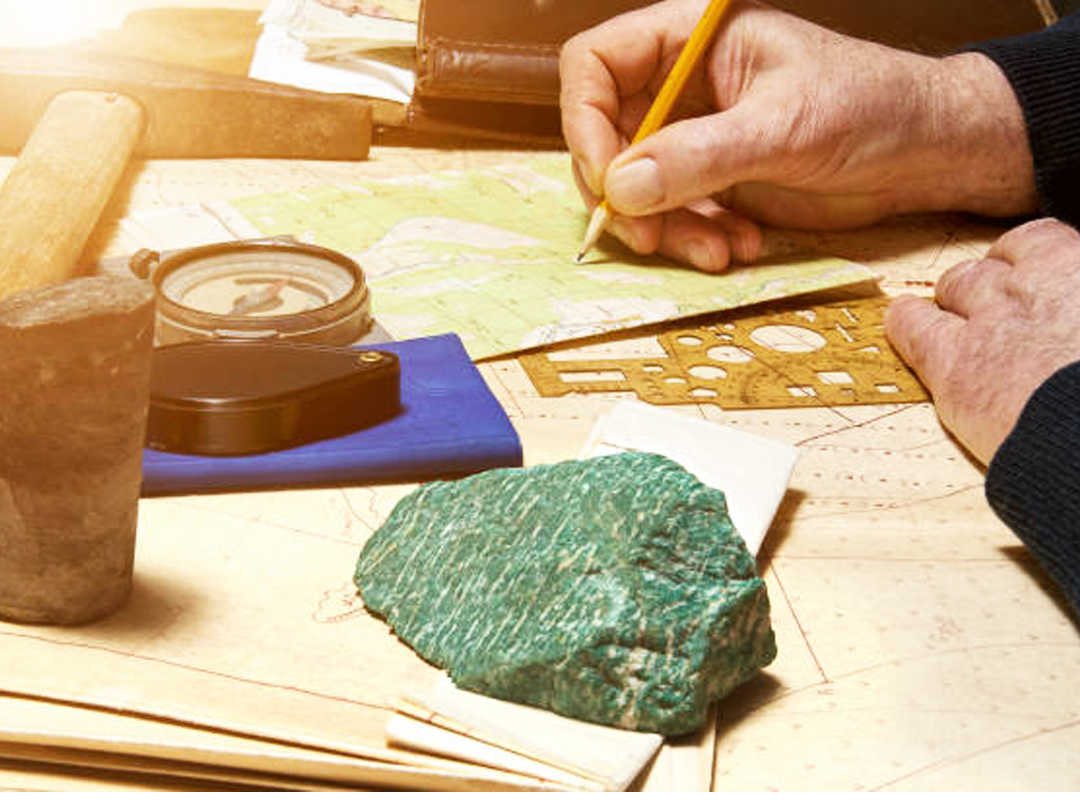
In geology, one of the primary benefits of laser rangefinders is their ability to speed up the process of geological exploration. Rather than spending hours taking measurements manually, geologists can use laser rangefinders to quickly determine the distance between different features, map out terrain, and get a better understanding of the land around them. This can help them identify potential areas of interest, such as areas with natural resources that could be valuable for mining, drilling, or other uses.
Eyoung's 2km to 7km laser ranging module can be customized to be the finished product for your specific need in various industries. Feel free to contact us if you have any questions.